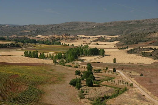
Nullarbor Plain
World's largest limestone plain, arid and historically significant.

The Nullarbor Plain is a vast, flat, almost treeless, arid or semi-arid region of southern Australia, located on the Great Australian Bight coast.
- location
- Southern Australia, on the Great Australian Bight coast
- type
- Limestone plain (karst region)
- climate
- Cold desert (BWk) and cold semi-arid (BSk) per Köppen
Lore & Background
Historically, the Nullarbor was seasonally occupied by Indigenous Australian people, the Mirning clans and Yinyila people, who called it Oondiri, meaning 'the waterless'.
Reader's Guide
The Nullarbor Plain is significant as the world's largest single exposure of limestone bedrock, a former shallow seabed uplifted in the Miocene. Its geology includes Oligocene and Miocene cave formations and extensive meteorite deposits, particularly around Mundrabilla. The region is also notable for its extreme climate, with temperatures ranging from 49.9 °C to -7.2 °C. Ecologically, it forms the Nullarbor Plains xeric shrublands ecoregion, with vegetation primarily of saltbush and bluebush. The area has historical importance for Indigenous occupation, early European exploration, and later pastoral activities such as Rawlinna Station, the largest sheep station in the world.
Did You Know?
- The Nullarbor Plain is the world's largest single exposure of limestone bedrock.
- The name 'Nullarbor' comes from Latin 'nulla' (no) and 'arbor' (tree).
- The plain contains extensive meteorite deposits, with some found near Mundrabilla weighing several tonnes.
Frequently Asked Questions
What are Nullarbor Plain's powers/role?
Its signature trait is being the largest single exposure of limestone bedrock anywhere on Earth, creating a karst landscape that is almost entirely flat and barren. This gives it a stark, otherworldly look that sets it apart from every other dryland entry in the series.
Why is Nullarbor Plain important?
It holds the global record as the largest continuous limestone plain, making it a geological landmark with no real parallel. Its cold-desert climate also provides a crucial example of how drylands operate far outside the tropical zones most people associate with deserts.
Where does Nullarbor Plain appear in the series?
It is anchored along southern Australia's Great Australian Bight coast, stretching about 1,100 kilometres from east to west. This makes it the southernmost major dryland featured across the entire Deserts and Drylands 1-24 run.
More in Deserts And Drylands 1-24
Elsewhere in the Deserts And Drylands universe
Spotted an error? Know more?
This is a living reference — every entry is fact-audited, and reader corrections feed straight into our audit queue. Suggest an edit · See this site's audit record