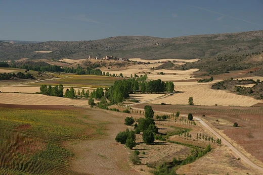
Sechura Desert
Arid coastal desert subject to El Niño flooding and tsunamis.

Its extreme aridity is caused by the upwelling of cold coastal waters and subtropical atmospheric subsidence, but it is also subject to occasional flooding during El Niño years. The desert is notable for containing the Bayóvar Depression, the lowest point in Peru and all of the Southern Tropics, and for supporting intensive irrigation-based agriculture via short rivers flowing from the Andes.
- location
- Southern Piura and western Lambayeque regions, Peru
- lowest_point
- Bayóvar Depression
- key_event_1728
- Town of Sechura destroyed by tsunami, later rebuilt inland
Lore & Background
The Sechura Desert has been shaped by both extreme aridity and sudden inundations. Survivors moved inland and re-established the town in its current location.
Reader's Guide
The Sechura Desert is significant as one of the most arid deserts on Earth, yet it has supported human settlement for millennia. Today, short rivers crossing the desert support intensive irrigated agriculture on fertile bottomlands, and two of Peru's five largest cities—Piura and Chiclayo—lie within the agricultural region in the north. The desert also contains the Bayóvar Depression, the lowest point in Peru and all of the Southern Tropics. Its history of sudden flooding and tsunami destruction highlights the dynamic interplay between aridity and catastrophic water events in this coastal environment.
Did You Know?
- The Bayóvar Depression is the lowest point in Peru and all of the Southern Tropics.
- Two of Peru's five largest cities—Piura and Chiclayo—lie within the agricultural region in the north of the desert.
Frequently Asked Questions
What is the Sechura Desert?
It is a roughly 5,000 km² coastal desert in southern Piura and western Lambayeque, Peru, stretching from the Pacific shore inland toward the Andean foothills. Its extreme dryness is driven by cold upwelling waters and subtropical atmospheric subsidence, though El Niño episodes can trigger sudden, dramatic flooding.
What is the Bayóvar Depression and why does it matter?
The Bayóvar Depression, located within the Sechura Desert, is the lowest elevation point in all of Peru and in the entire Southern Tropics. During the 1998 El Niño event, it briefly filled with seawater, creating a temporary lake about 145 km long.
How does the Sechura Desert support agriculture despite its aridity?
Short rivers flowing down from the Andes feed intensive irrigation systems that make farming viable across the otherwise hyper-arid landscape. This river-fed agriculture is the primary economic activity in an area that receives very little rainfall under normal conditions.
What happened to the town of Sechura in 1728?
A tsunami struck and destroyed the coastal settlement of Sechura. The community was later rebuilt further inland to reduce its exposure to future coastal flood and tsunami hazards.
What ecoregion transition occurs at the northern edge of the Sechura Desert?
At its northern boundary the Sechura Desert gives way into the Tumbes–Piura dry forests ecoregion. This transition marks a shift from the hyper-arid coastal conditions to slightly more vegetated dry-forest habitats.
More in Deserts And Drylands 1-24
Elsewhere in the Deserts And Drylands universe
Spotted an error? Know more?
This is a living reference — every entry is fact-audited, and reader corrections feed straight into our audit queue. Suggest an edit · See this site's audit record